Vision
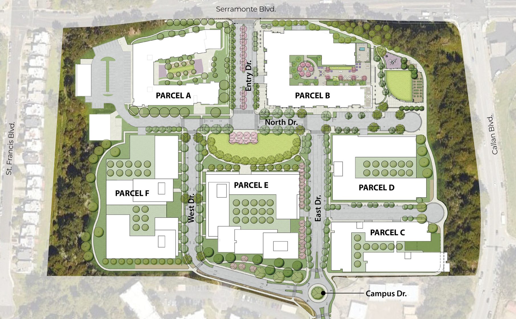
The Master Plan arranges courtyard housing in walkable blocks around tree-lined parks, focusing on a neighborhood shopping street and social destination serving the surrounding community. The plan will create several alternative venues for outdoor gatherings and recreational activities. The Jefferson Union High School District (JUHSD) envisions a walkable, bikeable, safe, family-friendly neighborhood with shopping, park space and fitness trails.
Building a Neighborhood
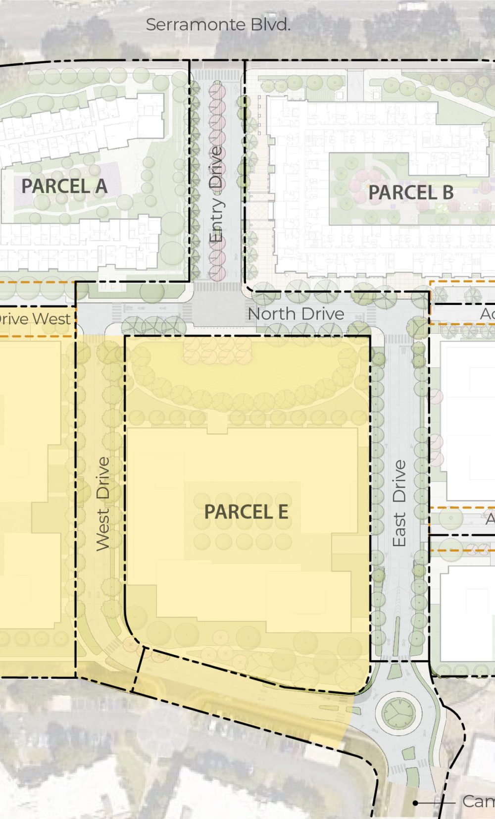
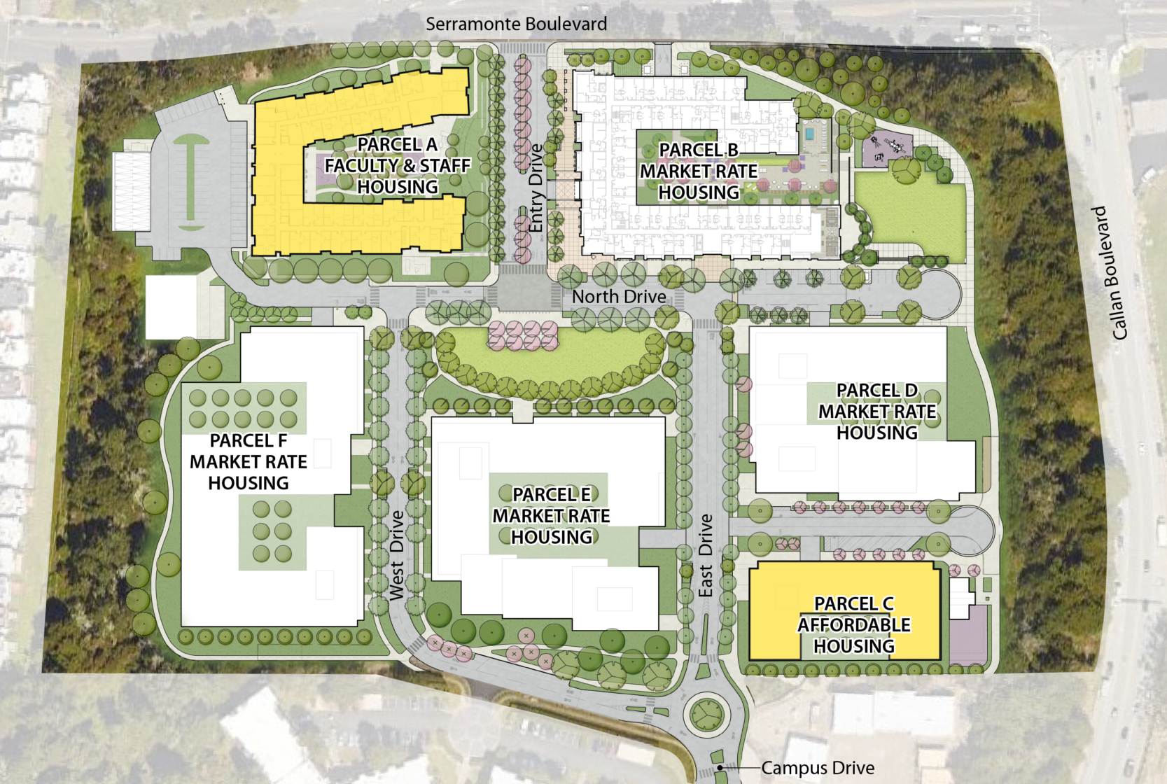
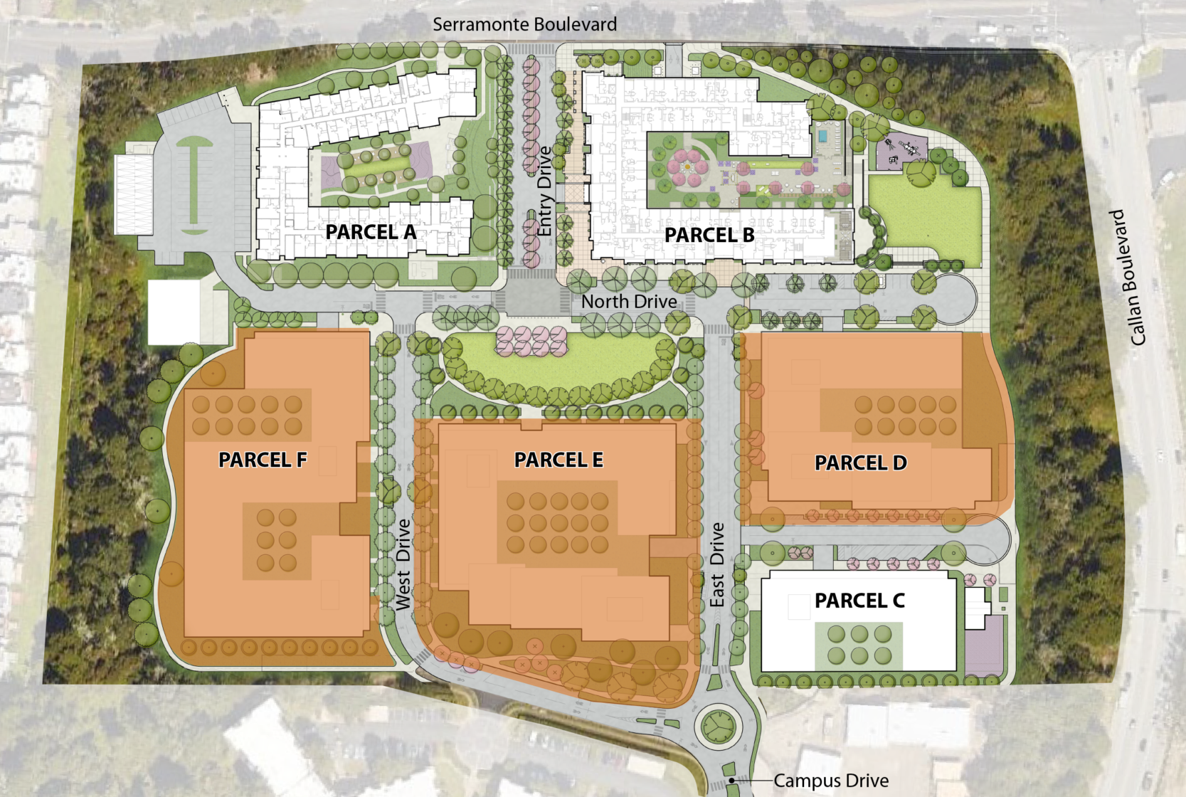
The transformation of the former school site was initiated with the start of construction of 122 units of Faculty and Staff Housing on Parcel A. JUHSD anticipates six building parcels plus several common areas and streets open to the public.
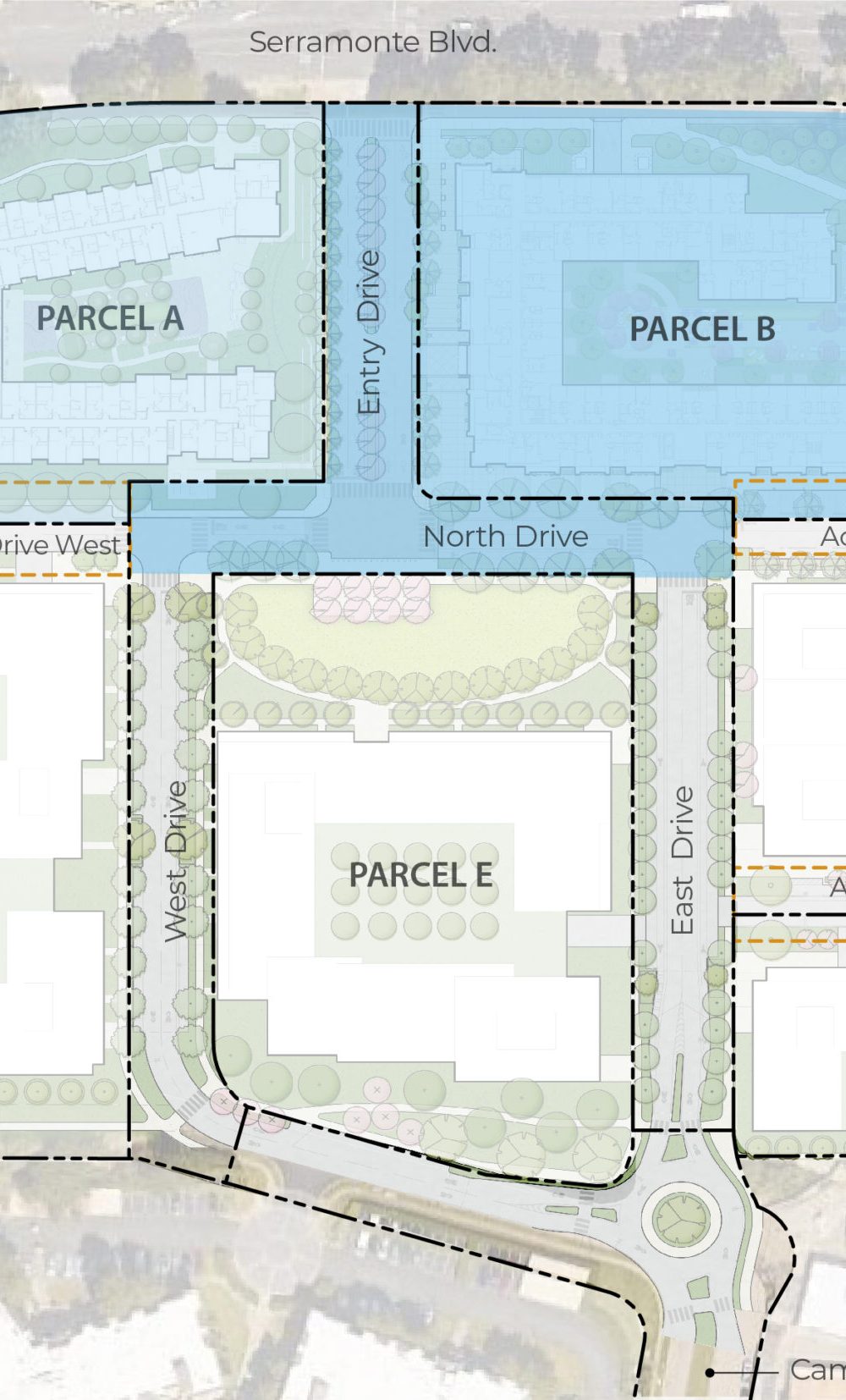
The proposed design for Parcel B has been approved by the City, allowing the District to build Parcel B next. The full build-out of the remainder of the neighborhood is estimated to take between eight and fifteen years.
Housing Equity
The school district is committed to an inclusive community with the building of new housing. How we invest in our community will shape the attractiveness of the neighborhood. Our Master Plan proposes to exceed the City’s 10% below market rate (BMR) rental housing requirement. Combined with the Faculty and Staff Housing under construction, 20% of our housing will be low and moderate-income rental housing for a total of approximately 245 units and the balance of up to 990 units will be market rate rental housing.
Preserving Head Start
Our school district is committed to working with Head Start to accommodate a long-term home on-site for the preschool. The Master Plan accommodates Head Start’s program needs for a 1,400 square foot facility with two classrooms, outdoor play areas, and parking at Parcel D2. We are committed to supporting Head Start’s effort to fundraise for the buildout of their new facilities.

Innovative Housing Solutions
To address the critical housing shortage in the Bay Area, architects are developing innovative higher density housing solutions to create high-quality urban living. Drawing upon successful projects in San Mateo County, the District’s design team plans for up to four different “types” of buildings. Buildings will vary in efficiency of using land, configuring parking, orienting ground floor activity and construction technology. Each site wraps housing around a courtyard which is the most efficient and livable way to arrange urban living. From lowest to highest density, likely building types considered for the housing are:
- Four stories of wood frame with surface parking (Parcel A)
- Four stories of wood or metal frame over a concrete “podium” of structured parking
- Up to seven stories comprised of 5 stories of wood or metal frame and two to three stories of concrete podium
- Up to a maximum of 14 stories of light weight steel and concrete construction which includes up to four stories of a concrete parking podium
Heights and Views
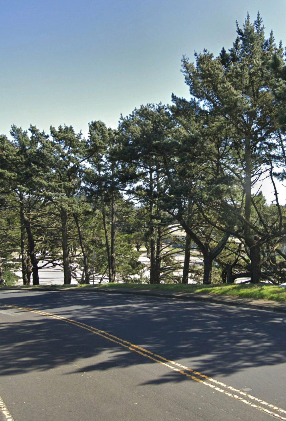
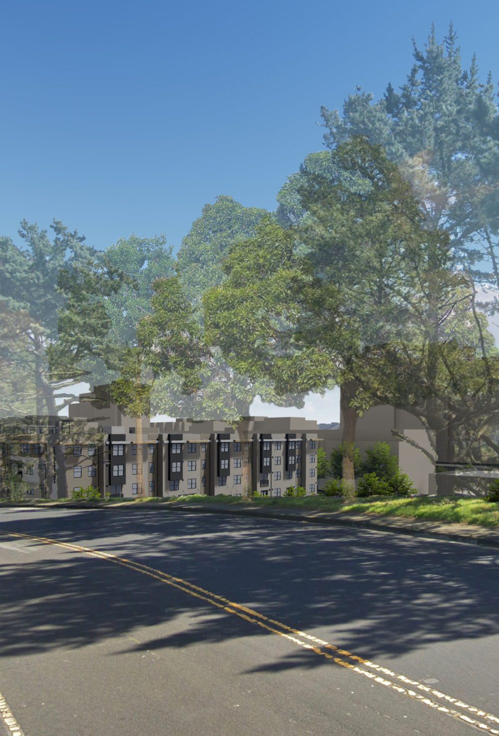
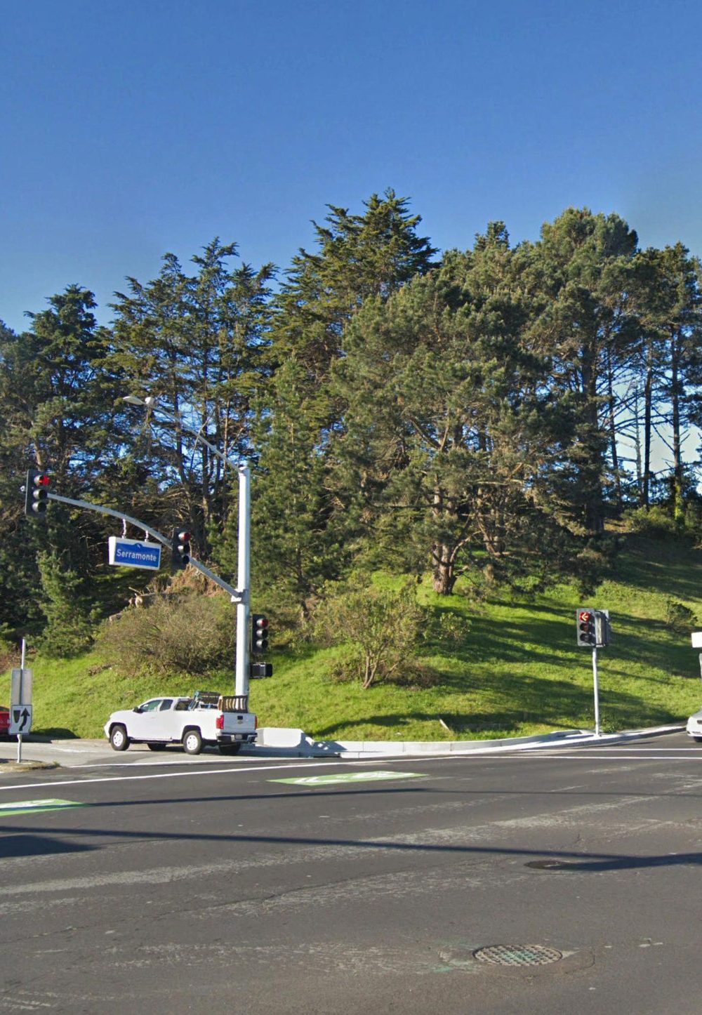
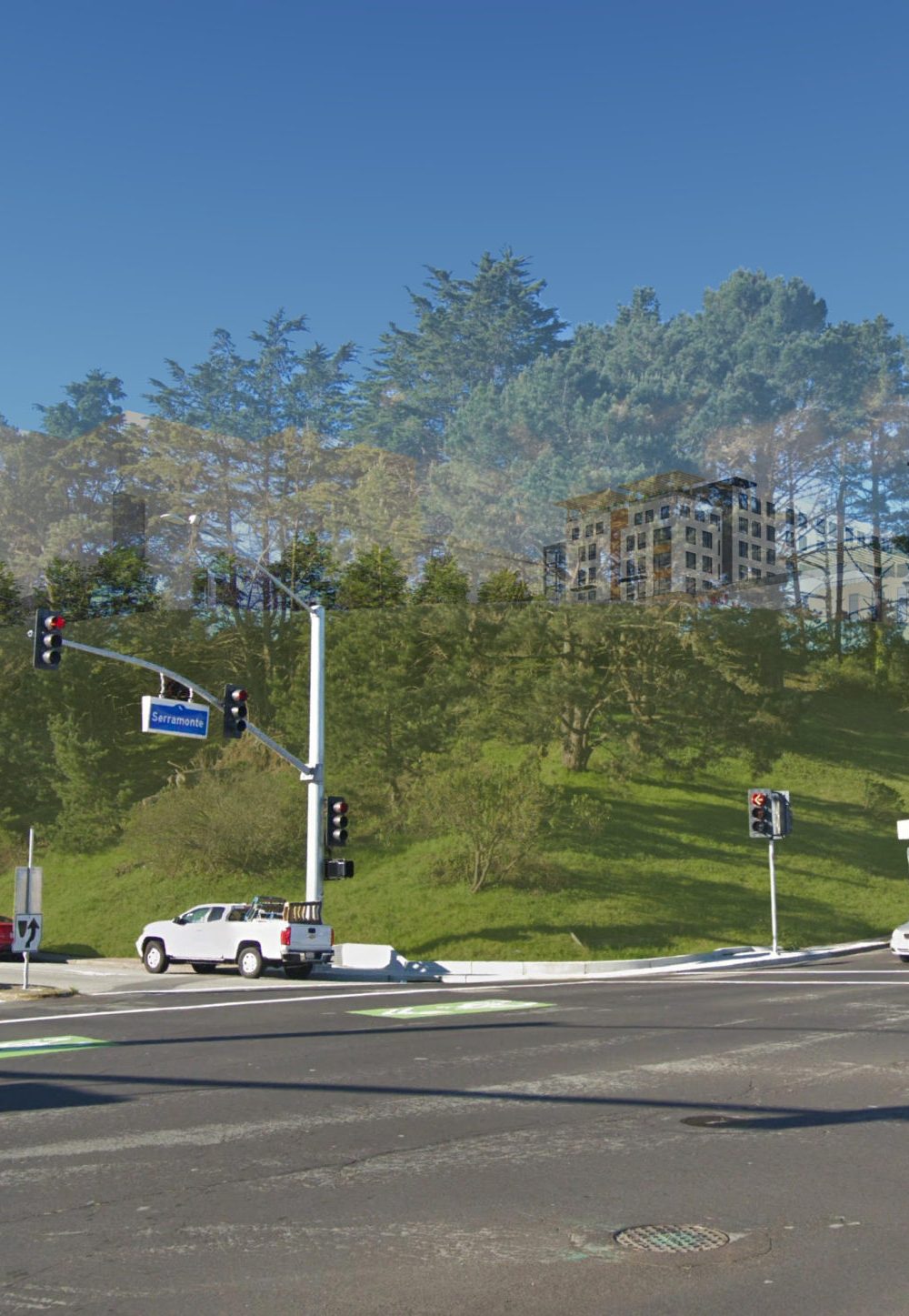
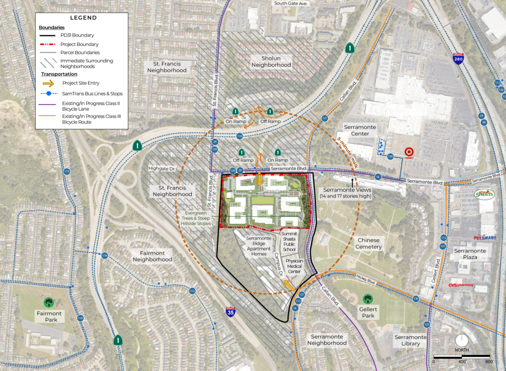
The Serramonte Del Rey neighborhood project is located on an out-of-sight hillside setting that is ideal for higher density housing. To the north and south of the site is multi-family housing. To the west is high-density single-family housing. Buildings will be set into the hillside, largely obscuring them from view. From public streets, new housing will be visible along Serramonte Boulevard and south from Campus Drive. Existing hillside woodlands to the east block views from Callan Boulevard.
Active Transportation for Healthy Living
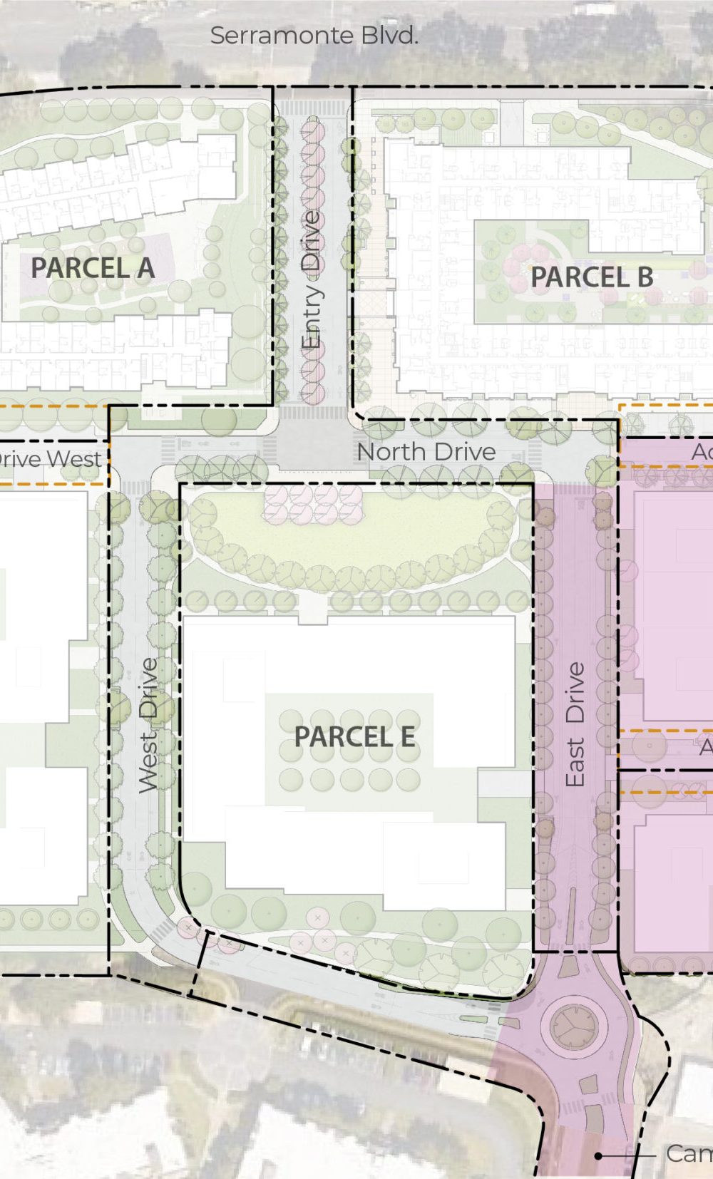
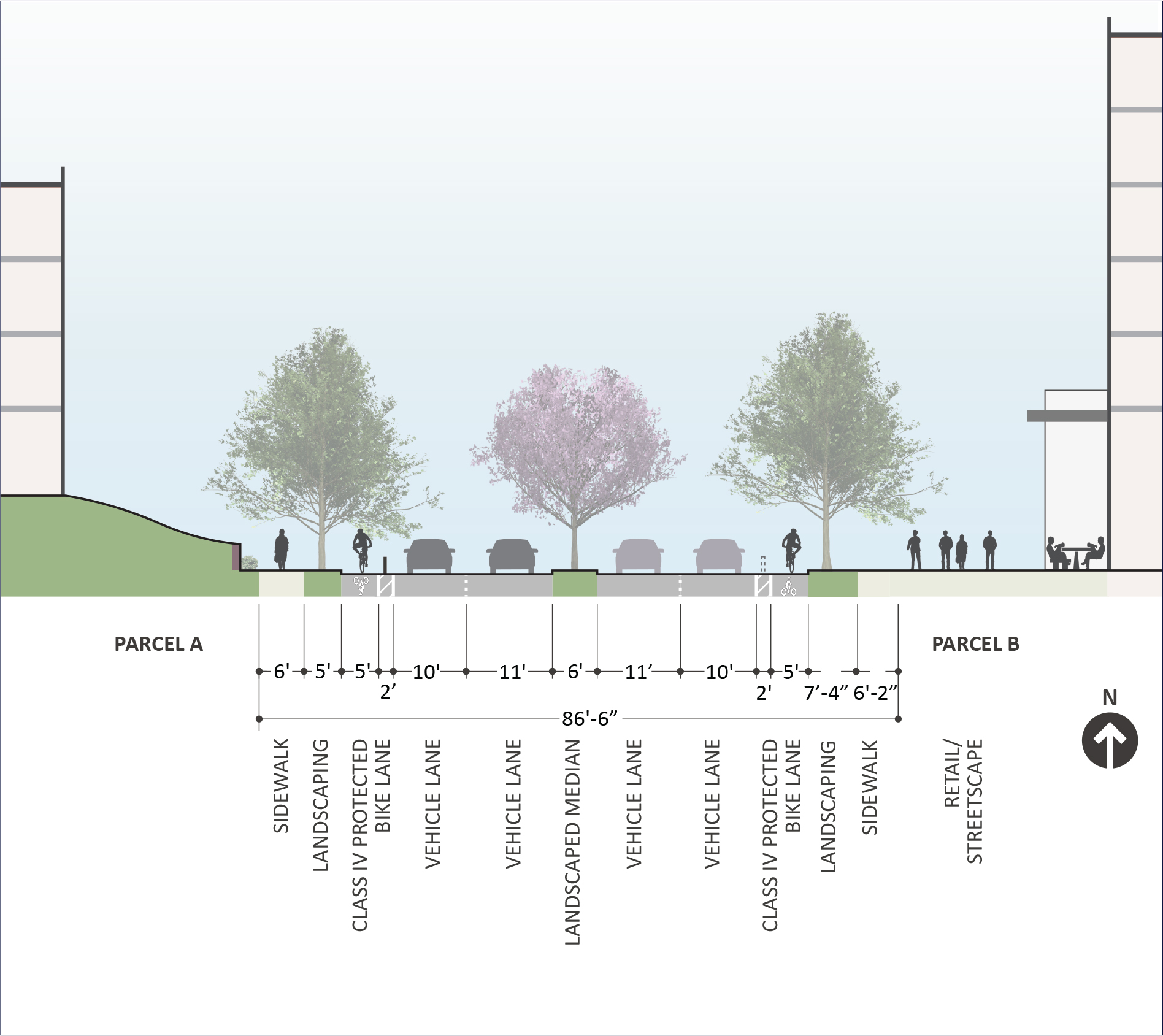
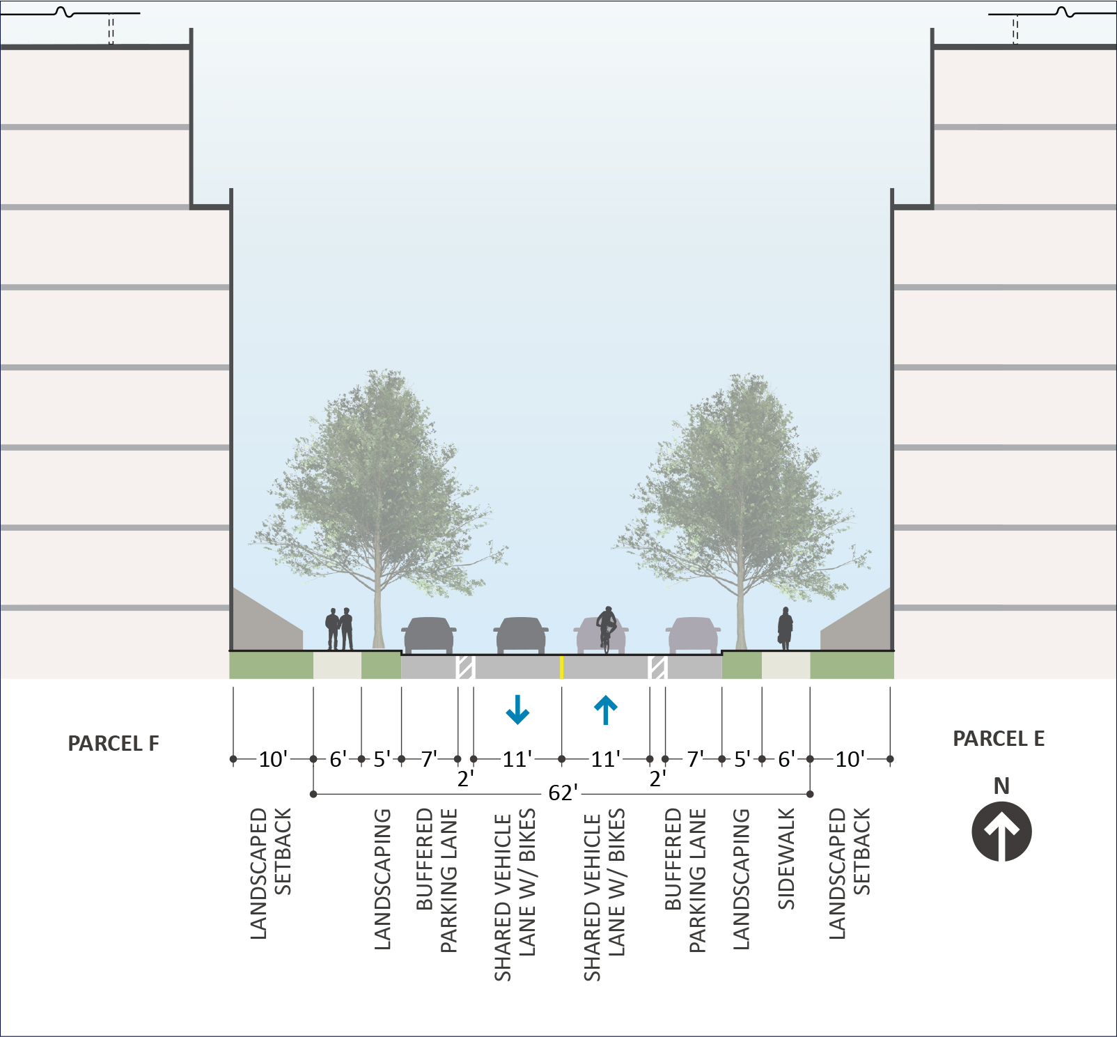
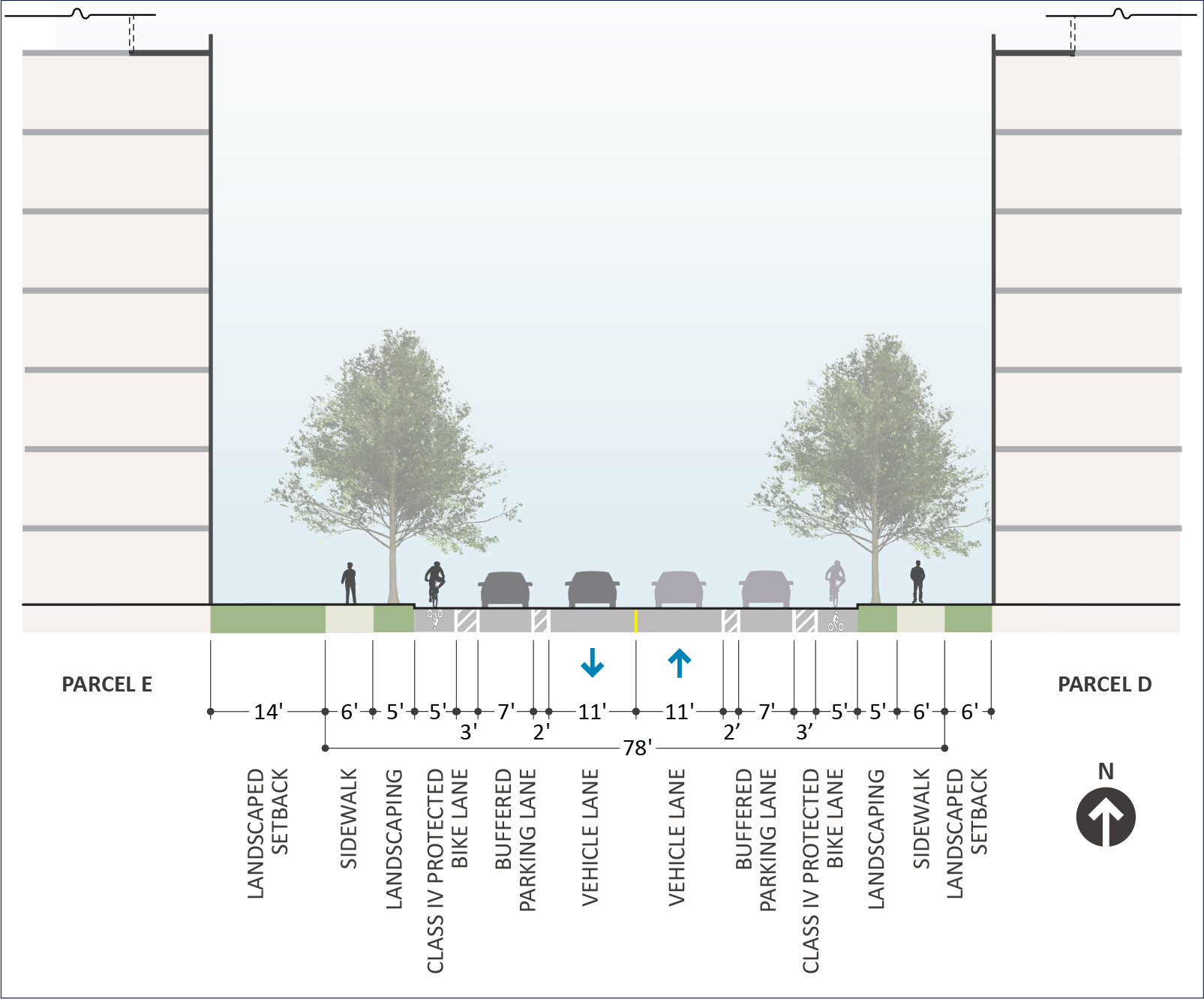
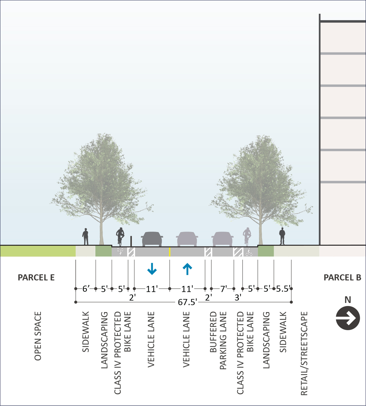
The school district advocates for a neighborhood designed for active transportation for healthy living. The Master Plan’s streets are designed for daily exercise with walkable and bikeable streets. These “complete streets” advance Daly City’s Vision Zero program to reduce pedestrian traffic fatalities to zero. Alternative transportation options are supported such as ride hailing services, electric vehicles, shuttles and use of the frequent bus service to BART at Serramonte Boulevard.
Assessing Local Roadway Effects
A detailed Traffic Impact Assessment is currently being prepared to assess these changes and how they will effect the local street network. Where impacts to these roadway facilities are identified, improvement measures will be developed and proposed. The intersection of Serramonte Boulevard and Campus Drive will be a safe, pedestrian-oriented intersection with a new traffic signal.
Parking
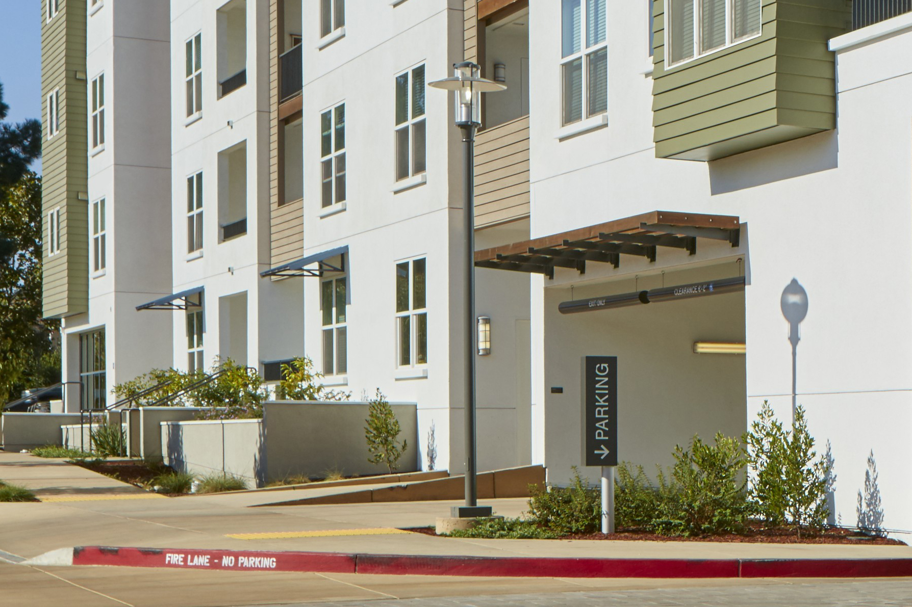
The school district seeks to “right-size” the supply of parking in relation to parking demand, based on best engineering available data, reflective of comparable projects and trends reducing overall reliance on parking and auto travel. Parking will be on-site for residents, guests, and retail customers to avoid “overflow” parking in nearby neighborhoods. Transportation Demand Management (TDM) strategies will be used to ensure adequate parking for all uses.
Sustainability
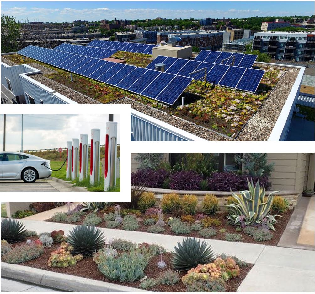
We want to ensure a green and healthy environment for families and our community. We are planning green buildings with sustainable, energy efficient and resource conserving operations and performance. Buildings will be designed and constructed to reduce our carbon footprint and ensure healthy indoor air quality. Buildings will have roof top solar panels, electric vehicle charging stations, water conservation, waste management, alternative transportation options and green materials. Landscapes will feature storm water treatment gardens, drought tolerant landscapes, street trees to reduce heat island effects, and pedestrian-oriented design.
